
SGOF holds Geographic Information System Conference on November 14th.


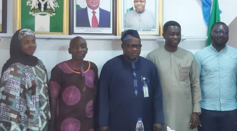
Mr. Abudul-Ganiyu Adebomehin, Surveyor-General of the Federation (SGoF), has announced preparations to organise the 2023 Conference on Geographic Information System (GIS) on November 14 in Abuja.
Adebomehin made the announcement on Thursday while updating reporters on the event’s preparations in Abuja.
“The GIS day is a remarkable day and one that Nigeria has never had before, so we are organising it big so that people will understand the value of GIS.”
“When you say GIS is everything, it’s because that’s where you have the data, maintain the data, and how you perform data analysis, display what’s in the data, and use it for informed decision-making.”
“That is why we intend to offer it a level of attention in which specialists will come and demonstrate what they have accomplished.”
“So that by the end of the day, we’d have a fantastic GIS day, so come November 14 to 15, we’d kick-start the programme,” he explained.
According to Adebomehin, the event is expected to gather stakeholders from both the formal and informal sectors of the country’s economy.
The Surveyor-General stated that stakeholders would meet to discuss the possibility of developing unique systems that ensure data harmonisation.
He emphasised the importance of professionals in the field supporting efforts to build capacity in order to achieve an efficient national geospatial data infrastructure (NGDI) for Nigeria.
According to him, establishing an effective and efficient NGDI is the most certain approach to achieving sustained development in terms of database accuracy, which would aid the government in development planning.
“Because when it comes to the geospatial repository, it is primarily the duty of the Federation’s Surveyor General’s office.”
“When you travel outside the country, you will realise how important having the National Geospatial Data Infrastructure (NGDI) for Nigeria is.”
“Because it would have information on everything, including the road and health institutions, among other things.”
“Because anything you want to discuss is geographical information.” “When you retain it as a repository, it’s the dispersion of that information that creates the pool,” he explained.
Stakeholders from the National Population Commission (NPC) and other private-sector partners attended the news conference.
A Geographic Information System (GIS) is a computer system that captures, stores, verifies, and displays data connected to positions on the Earth’s surface.
GIS helps individuals and organisations better understand spatial patterns and relationships, particularly in land administration and security.